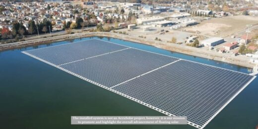
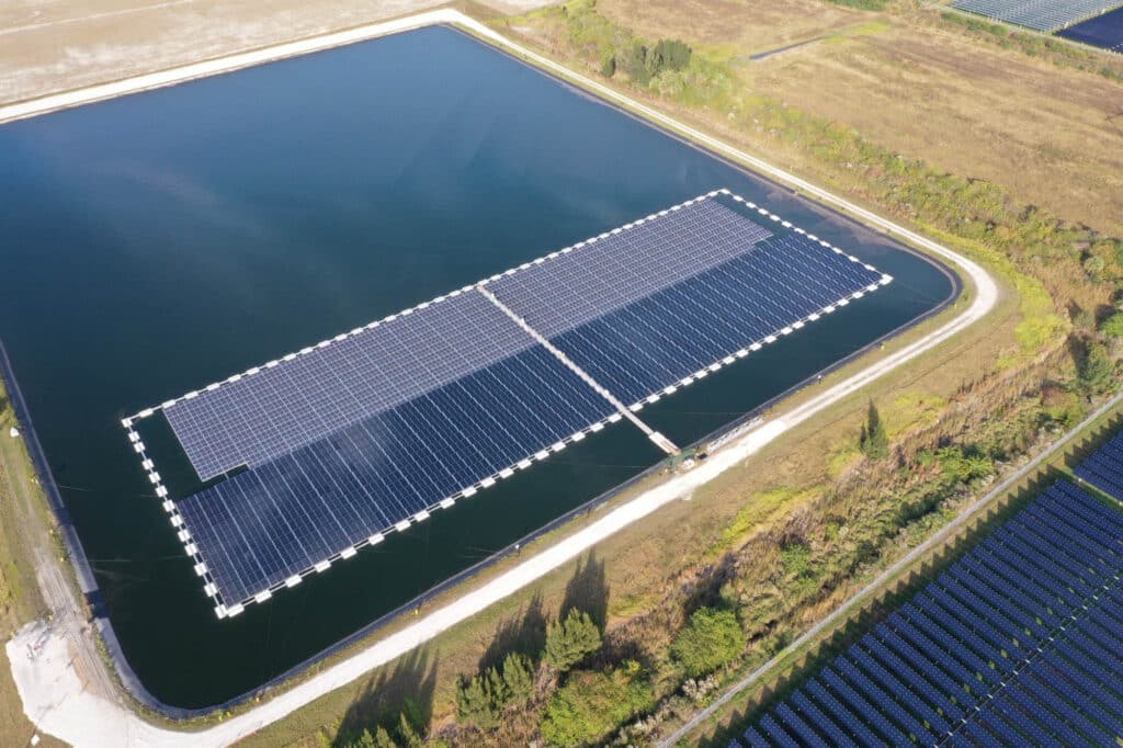
Understanding the underwater landscape, or bathymetry, is essential for the successful development of floating solar projects. This is how bathymetry is measured. Bathymetry involves measuring the depth and topography of bodies of water, providing critical data for the safe and effective placement of floating solar systems. This process is vital for ensuring stability and preventing challenges such as uneven anchoring or potential damage to the floating structures.
The primary question is: How do we measure bathymetry for floating solar projects?
Bathymetric Techniques
Bathymetry is typically measured using a combination of techniques, including sonar technology, satellite imagery, and, in some cases, traditional surveying methods:
- Sonar Technology
Sonar (Sound Navigation and Ranging) is one of the most widely used techniques. It operates by sending sound waves from a boat or autonomous vessel to the bottom of the water body. The sound waves bounce back to the surface, and the time it takes for the sound to return is recorded. Longer travel times indicate deeper water. This method creates a detailed profile of the underwater terrain, allowing engineers to identify optimal locations for floating solar systems. Sonar can be either:
- Single-beam: Captures data from a single point directly beneath the vessel.
- Multi-beam: Surveys a wider area and generates a more comprehensive underwater map.
- Satellite Imagery
Satellite imagery, equipped with high-resolution cameras and sensors, can capture contours and depths of water bodies from space. Although less precise than sonar, satellite data provides large-scale overviews, making it particularly useful for preliminary assessments of potential project sites. - Traditional Surveying (Lead Line)
In some cases, surveyors may rely on the traditional method of a lead line, where a weighted rope is lowered to manually measure depth. While rarely used for large-scale projects, this method remains applicable for smaller areas or when advanced technology is unavailable.
Importance of Bathymetry in Floating Solar Projects
For floating solar projects, understanding bathymetric data is critical. Engineers rely on this information to:
- Assess depth variability and topography at installation sites.
- Design mooring and anchoring systems that can withstand local conditions.
- Identify potential underwater obstacles, such as rocks or debris, that could interfere with the floating solar platforms.
Accurately measured bathymetry ensures the stability and safety of installations, while maximizing the efficiency of solar panels.
Conclusion
Employing these bathymetric techniques allows engineers to design floating solar systems tailored to unique aquatic environments. Whether using sonar, satellite imagery, or traditional methods, precise measurements are key to successful installations.
At AccuSolar, we specialize in U.S.-designed and manufactured Floating Solar PV systems. Contact us today to explore how we can help you implement effective and sustainable floating solar solutions tailored to your project’s needs.


