Bathymetry Definition: A Key to Unlocking Floating Solar Potential
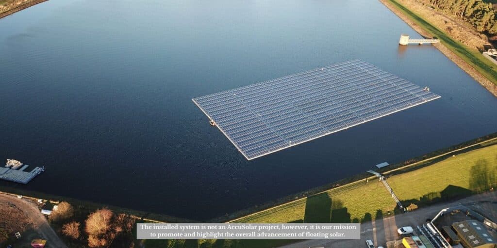
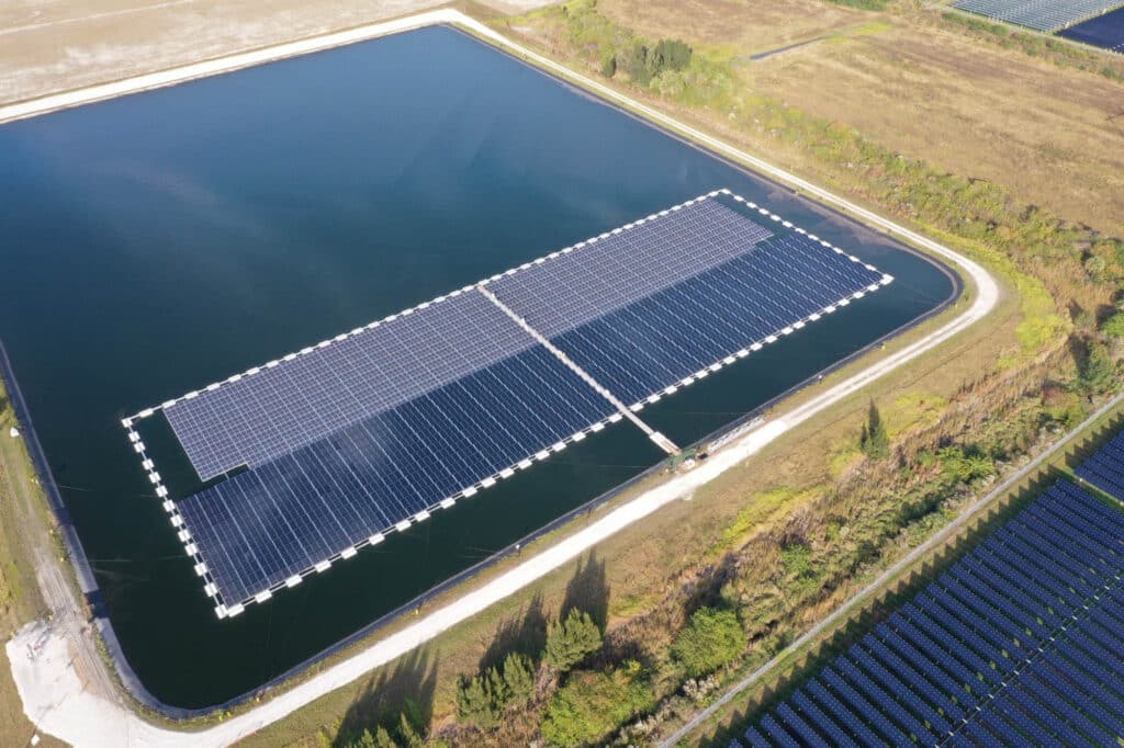
The rapid adoption of renewable energy technologies has sparked innovative solutions for sustainable power generation. One of the most promising developments is floating solar technology, which maximizes the utility of water surfaces to generate clean energy. However, the success of these installations hinges on a thorough understanding of the aquatic environments they inhabit. Enter bathymetry, a scientific field essential for designing efficient, stable, and environmentally responsible floating solar systems.
What is Bathymetry? Understanding the Definition
Bathymetry, in its simplest terms, is the science of mapping underwater landscapes. It provides detailed insights into the topography of water bodies, unveiling depth variations, slope gradients, and identifying features such as underwater ridges, troughs, or even aquatic vegetation. Much like land-based topographic maps, bathymetric charts present a visual representation of underwater terrains, forming a crucial foundation for projects involving marine environments, including floating solar installations.
Decoding Bathymetric Charts: What the Colors Mean
Bathymetric charts employ color coding to represent depth variations. Here’s what these colors typically signify:
- Dark Blue: Indicates the deepest areas.
- Lighter Shades (Green, Yellow): Represent shallower regions.
- Brown or Tan: Denote land or near-surface zones.
This intuitive system allows developers to assess the underwater landscape quickly, helping them identify optimal locations for installing floating solar systems. For instance, shallow waters might need specific anchoring solutions, while deeper regions may require designs that account for stronger currents and increased water movement.
Why Bathymetry is Essential for Floating Solar Projects
The deployment of floating solar arrays involves much more than placing panels on water. Bathymetric surveys provide critical data that inform every stage of the project:
1. Site Selection and Design
Bathymetric data offers a detailed view of underwater conditions, enabling developers to choose locations with suitable depth, sediment composition, and terrain stability. This minimizes risks and ensures the floating solar systems are securely anchored.
2. Structural Stability
Understanding underwater gradients and currents helps in designing robust anchoring systems. For example, shallow areas may need customized solutions to address water-level fluctuations, while deeper zones demand anchors capable of withstanding wind and water pressures.
3. Environmental Stewardship
Bathymetry contributes to environmental sustainability by identifying sensitive ecosystems and habitats. This information allows developers to mitigate potential impacts on aquatic biodiversity, ensuring renewable energy projects are as eco-friendly as they are efficient.
4. Ongoing Maintenance
Regular bathymetric surveys enable long-term monitoring of underwater changes. As water levels shift or sediment accumulates, updated data helps adjust installations to maintain their performance and stability.
Beyond Mapping: Bathymetry’s Role in Conservation
Bathymetry doesn’t just support technical operations; it also plays a vital role in conservation efforts. By offering a window into the hidden underwater world, it equips decision-makers with evidence-based insights to protect aquatic ecosystems while advancing renewable energy goals.
Partner with AccuSolar for Sustainable Solutions
Harnessing the power of water surfaces for renewable energy starts with understanding what lies beneath. At AccuSolar, we specialize in U.S.-designed and manufactured floating solar PV systems, leveraging advanced bathymetric data to ensure your projects are efficient, secure, and environmentally sound.
Contact us today to discover how our expertise in floating solar technology and bathymetric analysis can help you unlock the full potential of your water surfaces.


